 01
011,086 ft
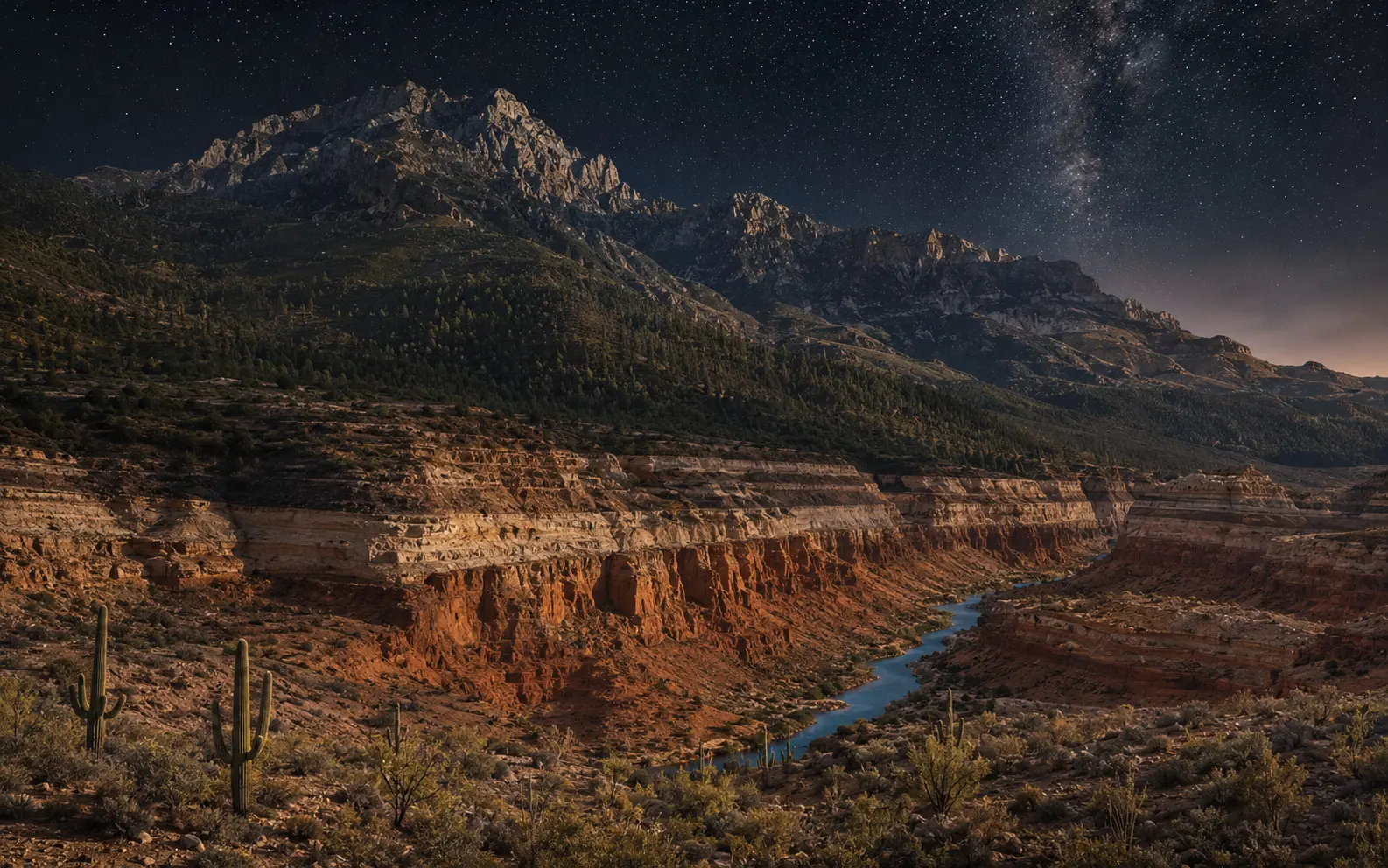
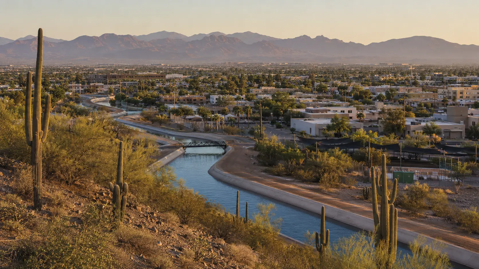
Desert city
Greater Phoenix
A metropolitan desert built around canals, shade, neighborhoods, food, art, and long horizons.
Read the terrainDeserts · canyons · high country · river
Follow the light from saguaro country to pine-dark skies, canyon walls, river towns, and living Tribal lands.
Start by landscape
1,100 ftThe vertical state
Arizona’s usefulness begins when “the desert” becomes specific: basin, riparian corridor, plateau, highland, river lowland, Sky Island, sovereign land.
Plan by elevationNine regional chapters
011,086 ft
Desert city
A metropolitan desert built around canals, shade, neighborhoods, food, art, and long horizons.
Read the terrain022,389 ft
Food roots
An older, earthier desert city where mountain ranges frame deep agricultural, Mexican, Indigenous, and university traditions.
Read the terrain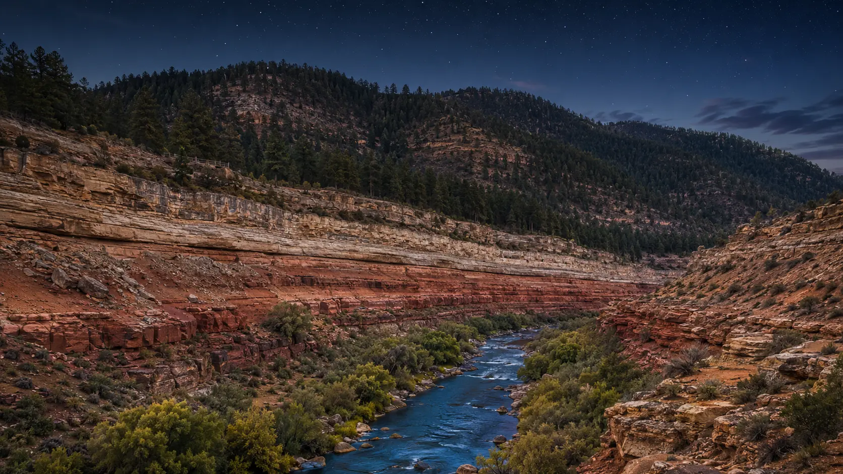 03
036,900–7,000 ft
High country
A practical mountain city and a mile-deep geological landmark, linked by ponderosa forest, altitude, rail history, and dark sky.
Read the terrain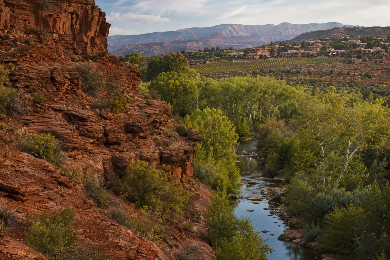 04
043,300–4,350 ft
Riparian red rock
Red sandstone, creek shade, art, vineyards, mining towns, and trail culture form a creative corridor rather than a single postcard.
Read the terrain054,118 ft
Water cut
A planning-intensive gateway where blue water, pale sandstone, engineering history, Tribal land, and desert exposure meet.
Read the terrain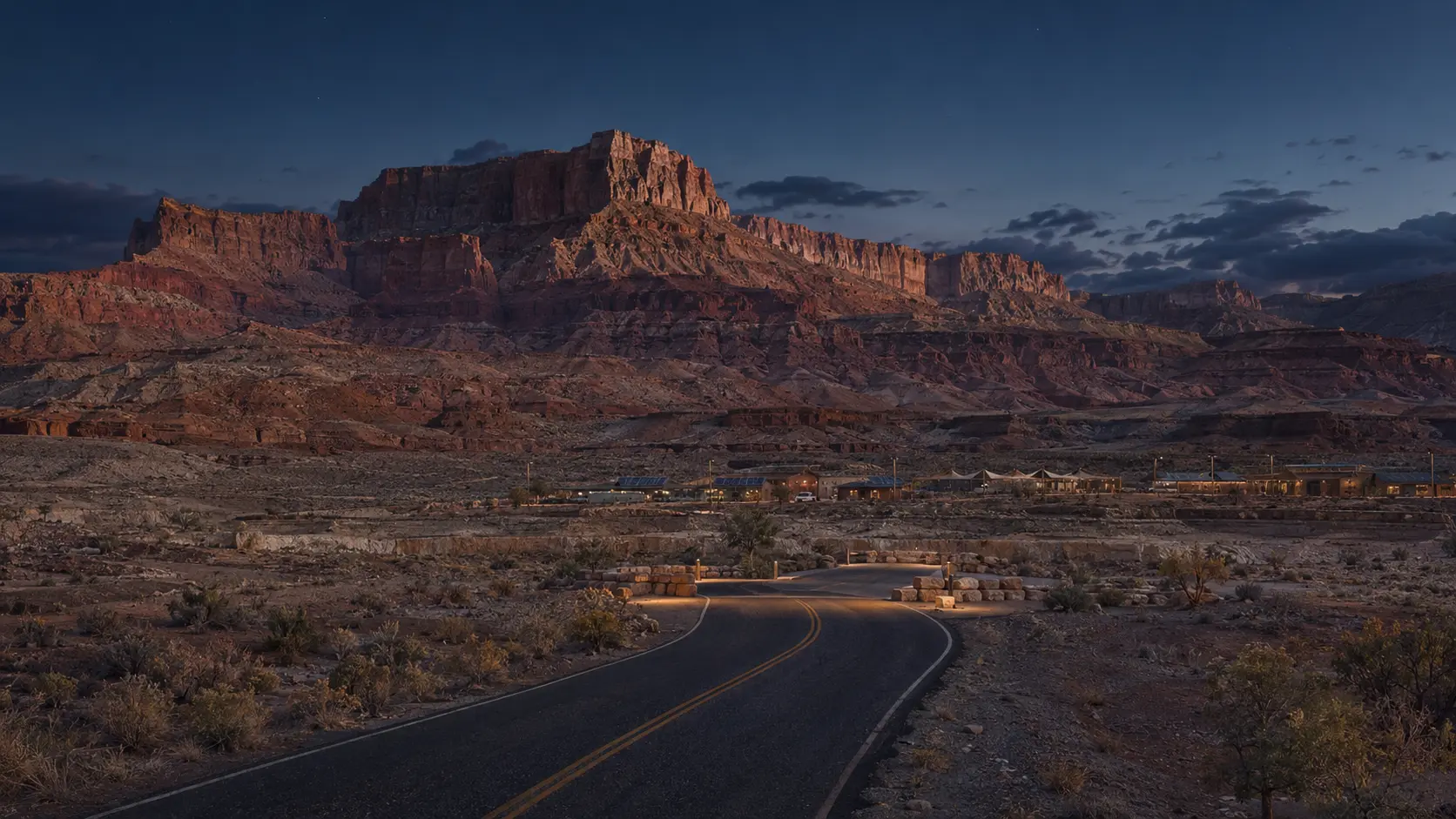 06
065,564 ft
Living nation
A sovereign homeland where visitor rules, Diné communities, contemporary arts, land stewardship, and monumental geology belong in the same frame.
Read the terrain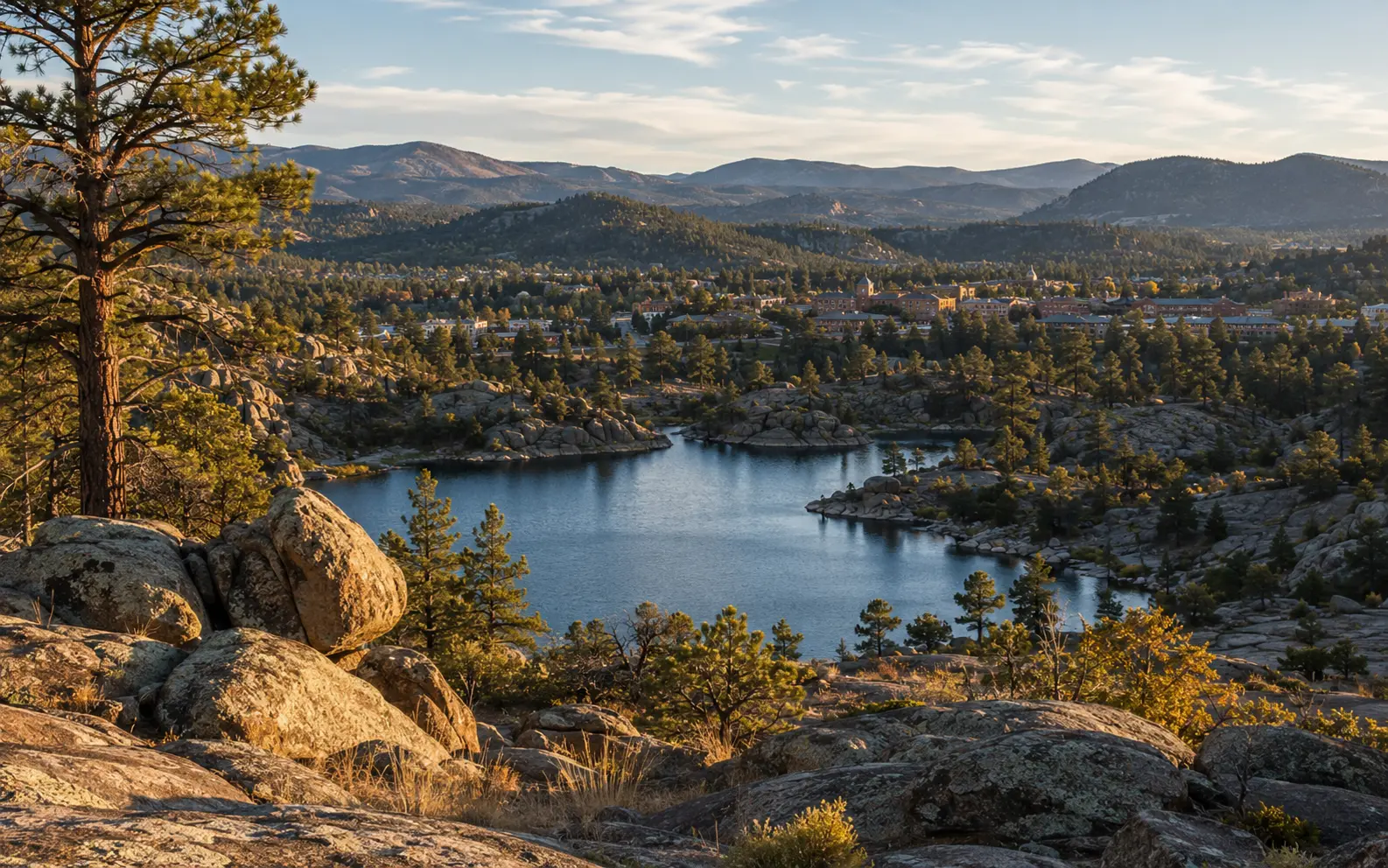 07
075,367 ft
Civic highland
A lived-in mountain city of granite, lakes, forest, courthouse traditions, and territorial history.
Read the terrain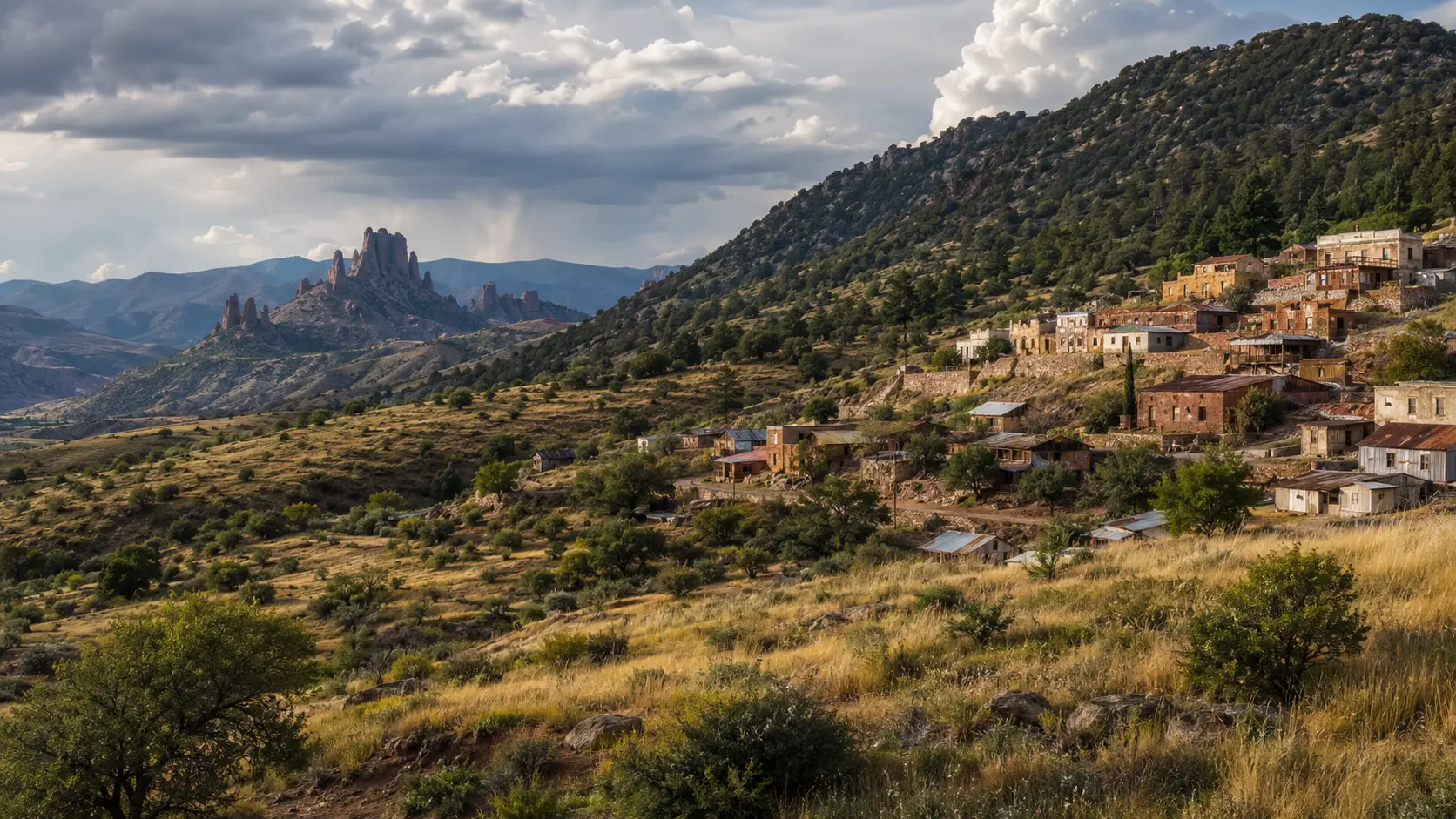 08
083,500–5,538 ft
Sky Island borderlands
Terraced mining streets, art, high-desert grasslands, birding, vineyards, and Sky Islands make Arizona’s southeast its own world.
Read the terrain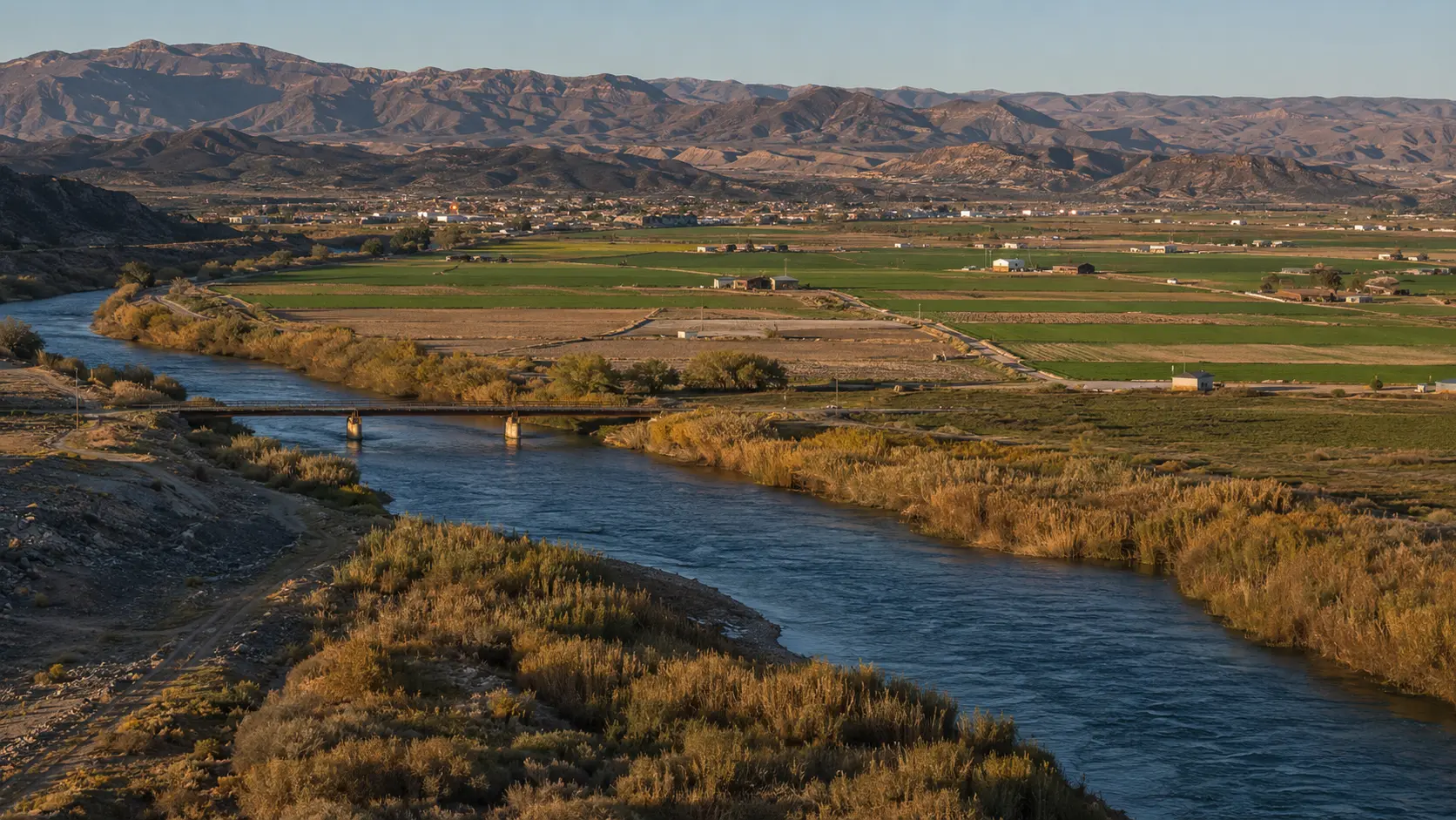 09
09141–3,333 ft
Arizona’s west coast
Beaches, boating, wetlands, Route 66 towns, historic crossings, irrigation, and working fields redraw the desert around water.
Read the terrainChecked Jul 23, 2026
A stadium golf experience listed for two days in downtown Phoenix.
A Tucson calendar listing centered on regional Western heritage.
An emergency-preparedness workshop presented by Flagstaff Sustainability Office and a neighborhood association.
A recurring summer jazz evening on Yuma’s Main Street, 7–9 p.m.
Editorially curated, not live inventory. Dates and details can change. Use the official source on every event before making plans.
Water writes the route.Plan the change
Drive time is only one measure. Heat, snow, flash floods, forest conditions, Tribal-park rules, and the physical change in elevation can turn a short line on a map into a different day.
Live here