Central city
Downtown, Roosevelt Row, the warehouse district, museums, sports, and light rail provide the clearest urban starting point.
Sonoran basin · 1,086 ft
A metropolitan desert built around canals, shade, neighborhoods, food, art, and long horizons.
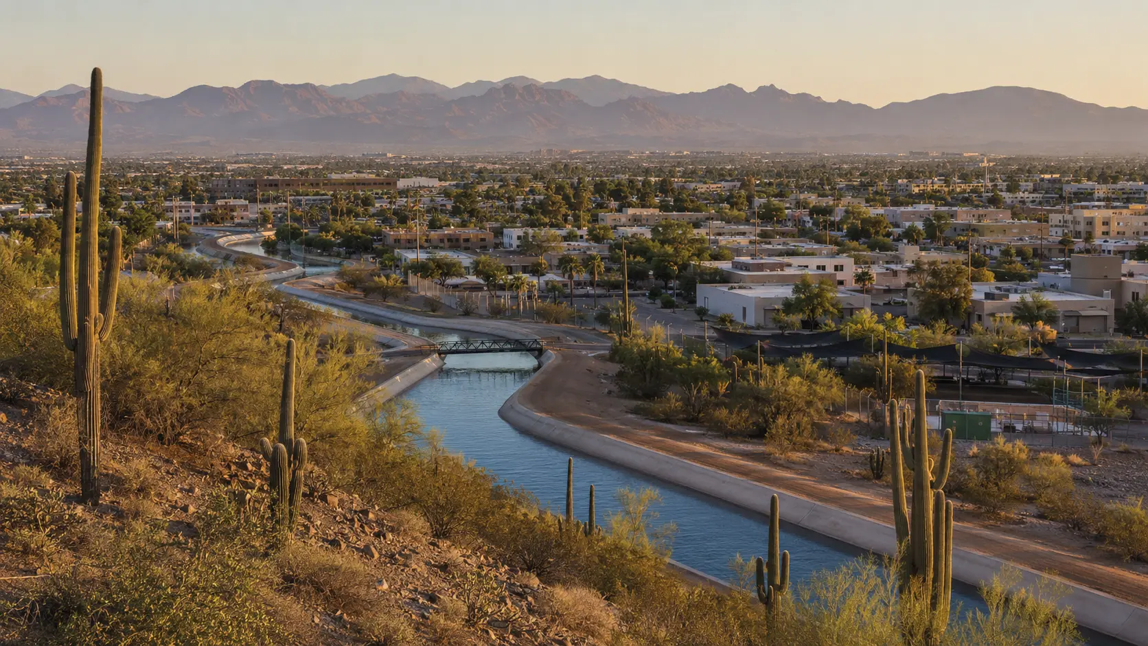
Conceptual regional study, not documentary photography
The first useful decision
Orient the region
Start downtown or in a walkable district, then read the Valley through its canal paths, mountain preserves, museums, and distinct East and West Valley communities.
Downtown, Roosevelt Row, the warehouse district, museums, sports, and light rail provide the clearest urban starting point.
Tempe, Mesa, Scottsdale, and neighboring communities differ in age, street pattern, nightlife, arts, and mountain access.
Glendale, Peoria, Goodyear, Avondale, and the wider west side are substantial communities, not an afterthought to downtown.
One considered day
Early
Midday
After light softens
What daily life reveals
Greater Phoenix is a network of food corridors shaped by Mexican, Indigenous, Asian, Middle Eastern, African, and many other communities. Choose by neighborhood and purpose, not a single “Southwestern” label.
Arizona food deskDistances are large, freeway congestion changes by time, and shade varies block by block. Light rail is useful along its corridor; most broader itineraries still require careful driving or rideshare planning.
Plan access and conditionsDaily Phoenix is built around early starts, shade, water, school and work commutes, neighborhood loyalty, and knowing when not to force an outdoor plan.
Living in ArizonaStay by purpose
These are area strategies, not availability claims or paid rankings.
Best when light rail, museums, sports, and city neighborhoods are the anchor.
Useful for university energy, regional rail access, and an East Valley base.
Appropriate when that district is the actual destination. It is not a neutral base for the whole Valley.
Season tradeoff
Local norms
Current planning window
A stadium golf experience listed for two days in downtown Phoenix.
Continue through elevation
A lived-in mountain city of granite, lakes, forest, courthouse traditions, and territorial history.
Next regional chapter 2,389 ftAn older, earthier desert city where mountain ranges frame deep agricultural, Mexican, Indigenous, and university traditions.
Next regional chapterSource desk
Last reviewed July 23, 2026. Open the managing authority before making a consequential plan.