Old Bisbee
Steep stairs, mining-era architecture, galleries, bars, homes, and narrow streets make walking rewarding and accessibility uneven.
Southeastern borderlands · 3,500–5,538 ft
Terraced mining streets, art, high-desert grasslands, birding, vineyards, and Sky Islands make Arizona’s southeast its own world.
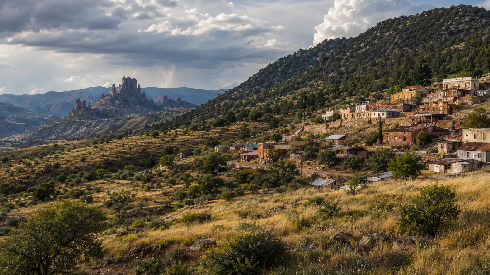
Conceptual regional study, not documentary photography
The first useful decision
Orient the region
Use Bisbee as the textured base, then choose among Chiricahua geology, birding corridors, wine country, mining history, and broader borderlands context.
Steep stairs, mining-era architecture, galleries, bars, homes, and narrow streets make walking rewarding and accessibility uneven.
Tombstone, Douglas, Sierra Vista, Willcox, Benson, and smaller communities have different economies, histories, and relationships to the border.
Chiricahua formations, mountain canyons, birding corridors, ranching landscapes, and vineyards define the county beyond town centers.
One considered day
Morning
Afternoon
Night
What daily life reveals
Bisbee’s compact food and bar scene contrasts with Cochise County’s ranching, border, vineyard, and roadside traditions. Service hours thin quickly outside town centers.
Arizona food deskSteep streets, mountain roads, border checkpoints, long distances, monsoon runoff, and limited rural signal require deliberate planning.
Plan access and conditionsThe southeast is not one sepia Western set. It includes military families, border communities, ranching, conservation, mining legacies, artists, agriculture, and cross-border ties.
Living in ArizonaStay by purpose
These are area strategies, not availability claims or paid rankings.
Best for walking and atmosphere; ask detailed questions about stairs, parking, and room access.
A practical service base for several southeastern nature and history corridors.
Useful when vineyards, agriculture, and Chiricahua access are the central chapter.
Season tradeoff
Local norms
Continue through elevation
An older, earthier desert city where mountain ranges frame deep agricultural, Mexican, Indigenous, and university traditions.
Next regional chapter 1,086 ftA metropolitan desert built around canals, shade, neighborhoods, food, art, and long horizons.
Next regional chapterSource desk
Last reviewed July 23, 2026. Open the managing authority before making a consequential plan.