Downtown, Barrio Viejo & Fourth Avenue
An urban sequence of adobe streets, streetcar access, university life, nightlife, and layered architectural history.
Sonoran bowl · 2,389 ft
An older, earthier desert city where mountain ranges frame deep agricultural, Mexican, Indigenous, and university traditions.
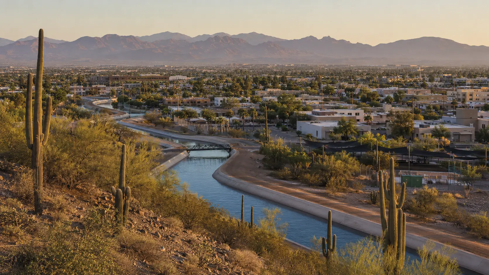
Conceptual regional study, not documentary photography
The first useful decision
Orient the region
Let food history, adobe neighborhoods, desert ecology, public art, and the east-west split of Saguaro National Park set the pace.
An urban sequence of adobe streets, streetcar access, university life, nightlife, and layered architectural history.
Desert ecology, cultural institutions, Gates Pass, and the western district of Saguaro National Park shape this side.
The eastern Saguaro district, longer approaches, open desert, and mountain views create a different pace.
One considered day
Sunrise
Lunch
Evening
What daily life reveals
Tucson’s UNESCO designation recognizes a living food system with deep agricultural history, not a restaurant ranking. Look for Sonoran ingredients, heritage grains, chiles, mesquite, Mexican traditions, Native foodways, and contemporary interpretation.
Arizona food deskThe streetcar connects useful central districts. The national park has separate east and west districts, and crossing the city between them consumes real time.
Plan access and conditionsTucson’s pace is deliberate. Residents know which side of the mountains they mean, watch monsoon build-up closely, and defend local food institutions with specificity.
Living in ArizonaStay by purpose
These are area strategies, not availability claims or paid rankings.
Best for streetcar access, university life, food, and evening energy.
Useful when desert museum and Tucson Mountain access outweigh nightlife.
Choose for quieter nights and Rincon-side access, with longer trips to central districts.
Season tradeoff
Local norms
Current planning window
A Tucson calendar listing centered on regional Western heritage.
Continue through elevation
Terraced mining streets, art, high-desert grasslands, birding, vineyards, and Sky Islands make Arizona’s southeast its own world.
Next regional chapter 1,086 ftA metropolitan desert built around canals, shade, neighborhoods, food, art, and long horizons.
Next regional chapterSource desk
Last reviewed July 23, 2026. Open the managing authority before making a consequential plan.