Flagstaff
A mountain city with neighborhoods, Northern Arizona University, Route 66 history, observatories, breweries, and forest access.
Colorado Plateau · 6,900–7,000 ft
A practical mountain city and a mile-deep geological landmark, linked by ponderosa forest, altitude, rail history, and dark sky.
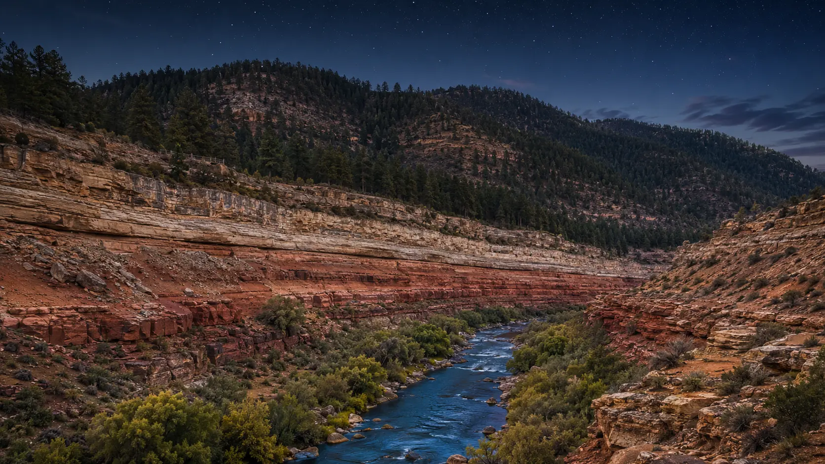
Conceptual regional study, not documentary photography
The first useful decision
Orient the region
Use Flagstaff as more than a gateway. Its neighborhoods, university energy, observatory history, and forest access deserve their own time.
A mountain city with neighborhoods, Northern Arizona University, Route 66 history, observatories, breweries, and forest access.
The principal year-round canyon district has its own shuttle, trail, weather, altitude, and time requirements.
Ponderosa country, volcanic landscapes, Tribal lands, monuments, and smaller communities make the road more than a transfer.
One considered day
First light
Afternoon
After dark
What daily life reveals
Flagstaff’s food life reflects a working mountain and university city. Plan around local neighborhoods and brewery or coffee culture rather than expecting a canyon-view dining checklist.
Arizona food deskAltitude, snow, monsoon, wildfire, parking, shuttle schedules, and highway conditions can all change the plan. The rim and Flagstaff are not the same destination.
Plan access and conditionsResidents live with winter, tourism, student calendars, forest closures, train noise, and dark-sky rules. The city is not merely the last gas stop before the canyon.
Living in ArizonaStay by purpose
These are area strategies, not availability claims or paid rankings.
Choose when early canyon access is the priority; verify park lodging and transportation directly.
Best for city life, food, rail history, and a second full chapter beyond the canyon.
A Route 66 and rail-oriented alternative with a different relationship to the park.
Season tradeoff
Local norms
Current planning window
An emergency-preparedness workshop presented by Flagstaff Sustainability Office and a neighborhood association.
Continue through elevation
Red sandstone, creek shade, art, vineyards, mining towns, and trail culture form a creative corridor rather than a single postcard.
Next regional chapter 4,118 ftA planning-intensive gateway where blue water, pale sandstone, engineering history, Tribal land, and desert exposure meet.
Next regional chapterSource desk
Last reviewed July 23, 2026. Open the managing authority before making a consequential plan.