Lake Havasu & river recreation
Boating, beaches, desert mountains, seasonal events, and a strong winter population define the northern leisure corridor.
River lowlands · 141–3,333 ft
Beaches, boating, wetlands, Route 66 towns, historic crossings, irrigation, and working fields redraw the desert around water.
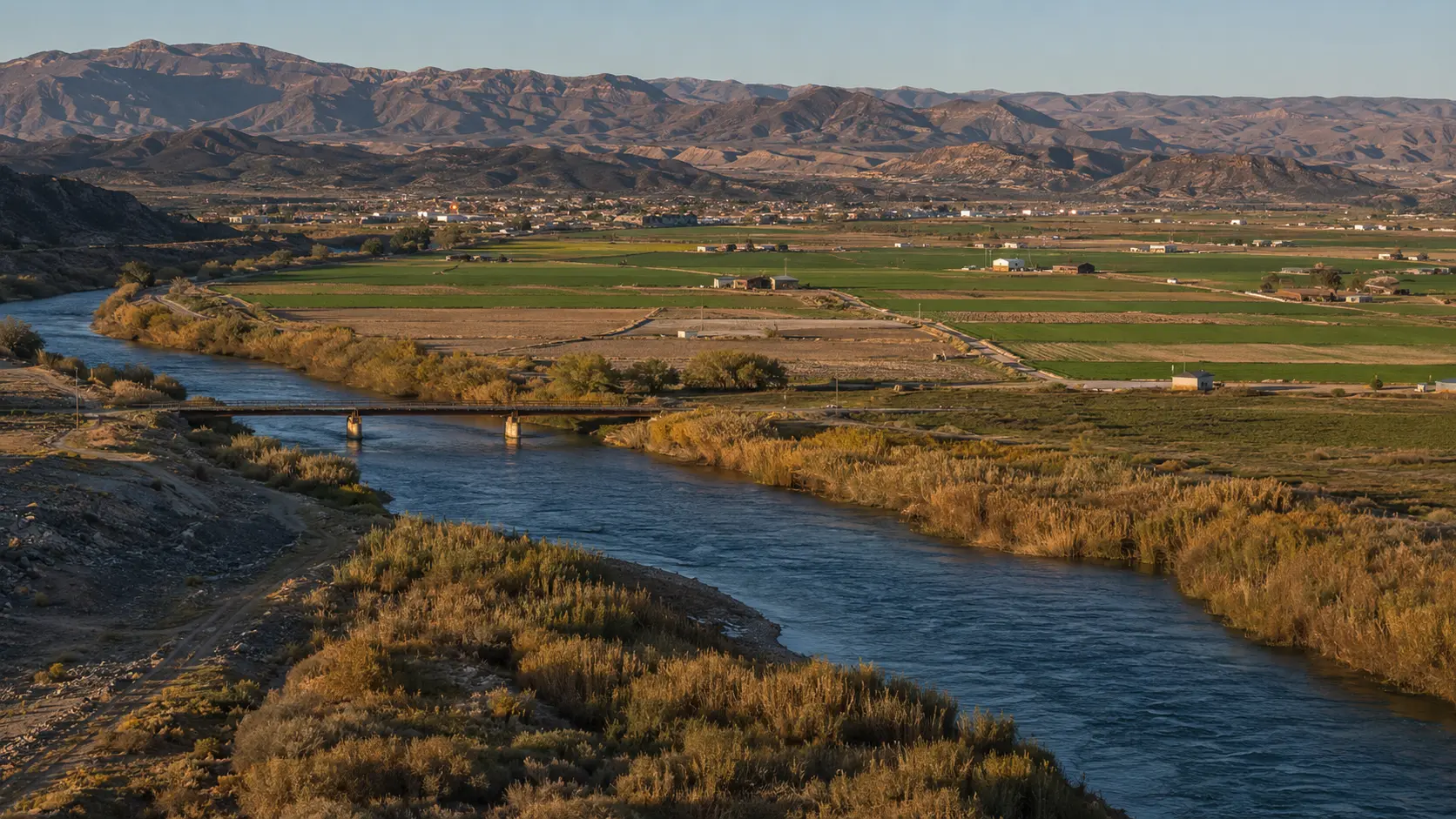
Conceptual regional study, not documentary photography
The first useful decision
Orient the region
Lake Havasu, Kingman, Yuma, river refuges, and agricultural landscapes are a corridor, not one interchangeable destination.
Boating, beaches, desert mountains, seasonal events, and a strong winter population define the northern leisure corridor.
Rail, road-trip history, desert uplands, and access toward the Colorado River give northwestern Arizona a separate identity.
Historic crossings, wetlands, agriculture, military life, border context, and winter migration reshape the low desert around working water.
One considered day
Early
Midday
Late
What daily life reveals
Yuma’s agricultural calendar, Mexican and border food traditions, date culture, winter visitors, and river-town gathering places deserve more attention than generic highway stops.
Arizona food deskThe “western corridor” spans hundreds of miles. Heat, river rules, boating safety, border travel, road closures, and desert fuel distances vary by subregion.
Plan access and conditionsWestern Arizona is both leisure and labor: recreation, retirement, agriculture, logistics, military life, border ties, and the daily politics of water.
Living in ArizonaStay by purpose
These are area strategies, not availability claims or paid rankings.
Use when boating, beaches, events, or the upper western corridor is the reason for the trip.
A Route 66 and northwestern road base with elevation and character distinct from the river lowlands.
Best for lower-river history, wetlands, agriculture, downtown, and a wider set of services.
Season tradeoff
Local norms
Current planning window
A recurring summer jazz evening on Yuma’s Main Street, 7–9 p.m.
Continue through elevation
Source desk
Last reviewed July 23, 2026. Open the managing authority before making a consequential plan.